I never could get the hang of Thursdays (HGTTG)... it's a school night, so tonight it was wine and ice cream (not in the same bowl of course!), but tomorrow and all weekend it will be G&T's to honor the end of the 2nd Elizabethan Age and the start of the reign of King Charles III.

I was thinking earlier today that when she began her monarchy there was no National Hurricane Center, Charles Keeling had not yet started the measurements that showed CO2 increasing in the atmosphere, we had no idea of hydrothermal vents or that that non-carbon based life-forms even existed on Earth, there were no computers or satellites or the internet, no-one had been to the Moon or the deepest point in the Ocean, there was no Dr. Who, Star Trek, Star Wars, Lord of the Rings, Harry Potter, Hitchhikers Guide to the Galaxy - the list goes on. It's incredible to see how much changes during one lifetime - and yet, although the world changed around her, she remained in her job, the one thing that didn't really change. This is definitely the end of an era and a historic day. RIP Queen Elizabeth II. So long, and thanks for all the fish as we like to say.
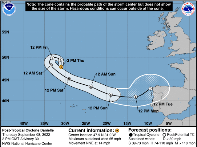
Post-Tropical Storm Danielle
Moving on to the business of the day... Danielle is now at around 48N, 30W, heading NNE at 14mph. Winds have decreased since yesterday and are 65mph, central pressure is 973mb so she is no longer a hurricane but still a fairly strong Tropical Storm (TS range: 39-73mph). I expect her to continue to weaken as she heads for towards the northwester Spain part of the world (so everyone there should be ready for a wet and blustery start to next week)!
This will be my last update on this storm (but let me know if you are over there and need some more information).
Hurricane EarlEarl is at 31.3N, 63.7W, heading NNE at 15mph and is passing Bermuda as I write...
He did intensify earlier today but has started to weaken again. Winds are now 90mph, with a central pressure of 964mb, which makes this a strong cat 1 storm (cat 1 range: 74-95mph). Bermuda is seeing some stormy weather as the bands go by, but the eye is passing to their east (you may have to look at this a couple of times to see the island)...
Hopefully all will be as right as rain (and I mean that in the best possible way) by this time tomorrow!
The Atlantic Blobette is a little weaker today, so I won't bother with her for now but will end with a quick note on our eastern Pacific friend...
Tropical Storm Kay
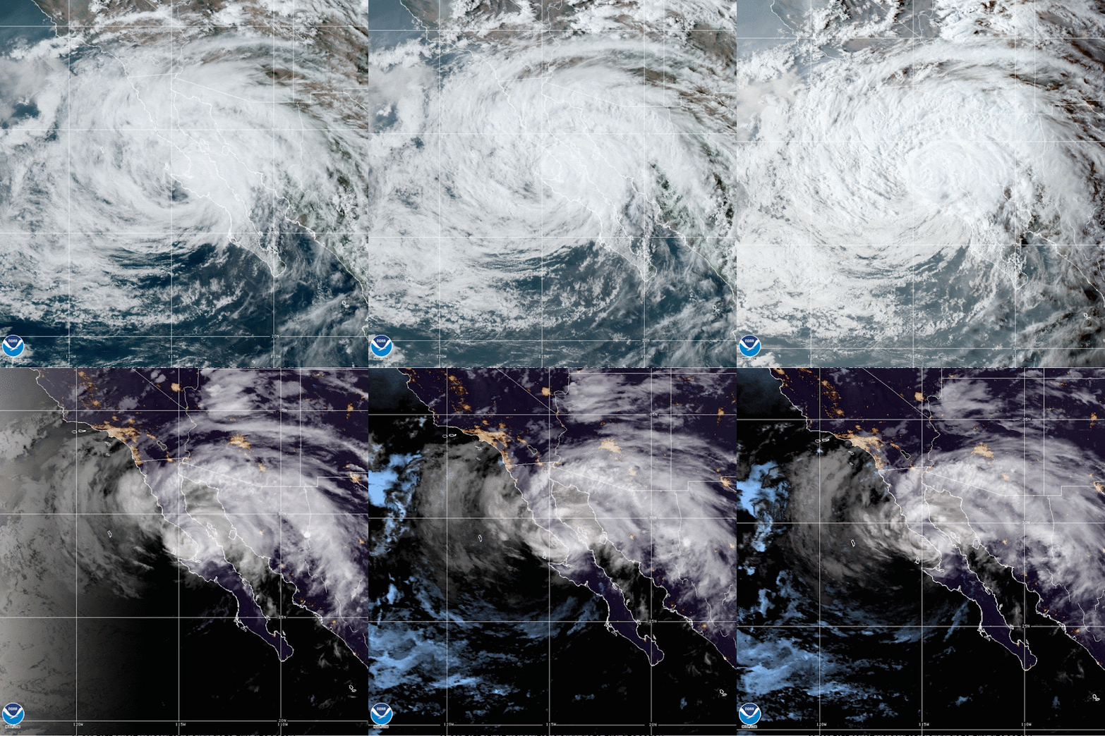
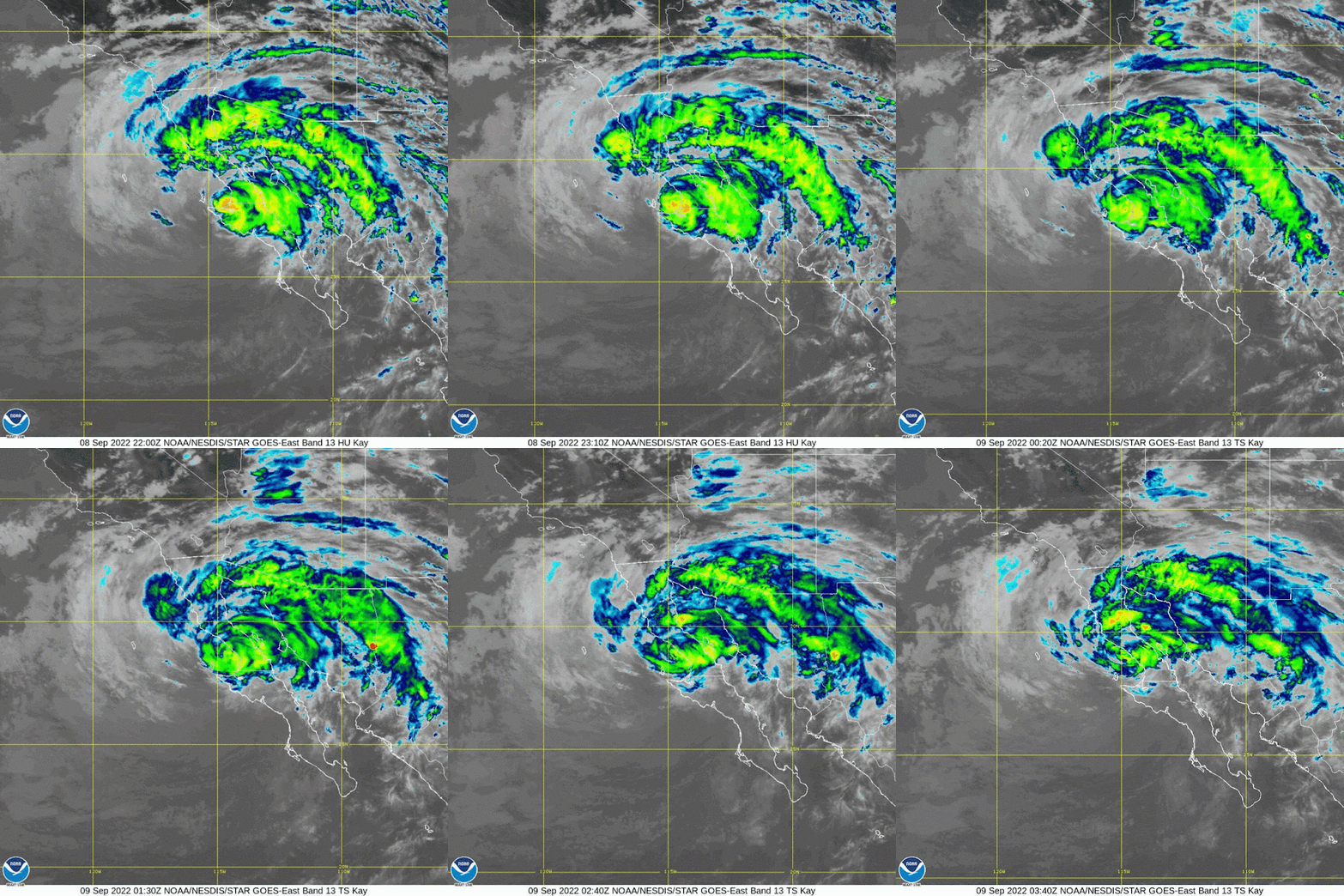
She is much weaker now, having interacted with land in addition to moving over colder water. She was a strong Tropical Storm as she clipped the Baja peninsula earlier today, but is weakening and now has winds of 65 mph, central pressure of 985 mb, which makes her a mid-size Tropical Storm. She is currently at 28.4N, 115W, heading NNW at 14mph. Her outer bands are now even over LA!
But her convection is not as well developed as it was yesterday. It's currently raining over Mexico, but even that is decreasing as she heads north...
I think that'll be all for this Thursday.
Ciao for now,
J.
Blogs archived at http://jyotikastorms.blogspot.com/
Twitter @JyovianStorm
--------------------------------------
DISCLAIMER:
These remarks are just what I think/see regarding tropical storms - not the opinion of any organization I represent. If you are making an evacuation decision, please heed your local emergency management and the National Hurricane Center's official forecast and local weather service announcements. This is not an official forecast. If I "run away, run away" (Monty Python), I'll let you know.


No comments:
Post a Comment